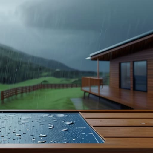
I remember standing in the driveway of a lovely 1930s semi over in Upper Clatford during a particularly nasty spell of rain last November. The owner was clutching a glossy, printed insurance report like it was a holy relic, swearing the house was “low risk” because the official map said so. I just pointed toward the bottom of the garden, where the soil had turned into a dark, soupy sludge and a small, unnamed trickle was already finding its way toward the French doors. That’s the problem with most people trying to learn how to check flood risk; they rely on a computer model designed in an office somewhere in London, rather than looking at the actual slope of the land right in front of them.
I’m not here to sell you a premium survey or a complicated software package. I’ve spent thirty years valuing properties across these counties, and I know that a real assessment happens with your own eyes and a sturdy pair of wellies. In this post, I’m going to show you the practical, boots-on-the-ground methods for spotting the warning signs that no glossy brochure will ever mention. We’ll talk about drainage, local history, and why you should always ask the neighbour about the weather.
Table of Contents
Reading Local Flood Hazard Maps With a Skeptics Eye
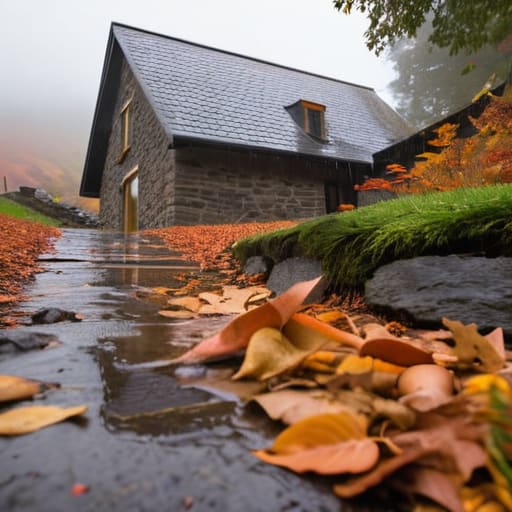
Now, you’ll likely be pointed toward the official government websites to look at the local flood hazard maps, and don’t get me wrong, they are a useful starting point. But you mustn’t treat them as gospel truth. I’ve seen plenty of lovely cottages in the valley that the maps claim are perfectly dry, only to find the cellar turning into a swimming pool every time we get a week of heavy rain. Those digital overlays are often based on broad data points that don’t account for the specific way a particular field drains or how a culvert might get choked with autumn leaves.
When you are looking at these charts, you need to distinguish between riverine vs coastal flooding—though if you’re up here in the hills, your main concern is likely surface water. Don’t just look at the colours on the screen; look at the topography of the land around the house. If the property sits in a natural dip, no amount of official reassurance is going to change the physics of where that water wants to go. It is always worth checking if the flood insurance requirements for the area are tightening up, as that is often a much more honest indicator of risk than a glossy PDF.
Why Climate Change Flood Projections Matter More Than Brochures
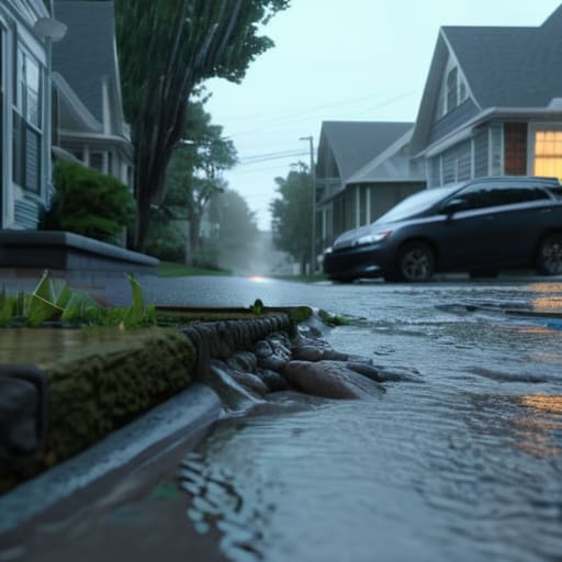
The problem with those glossy estate agent brochures is that they are essentially a snapshot of a moment that no longer exists. They might tell you the house hasn’t seen a drop of water since the late nineties, but they won’t tell you that the drainage system in the bottom of the lane was designed for the weather patterns of the Victorian era. When you look at climate change flood projections, you aren’t just looking at a theoretical graph; you are looking at the reality of how much more water our local catchment areas are going to be forced to carry in ten or twenty years’ time.
I’ve seen too many people buy a lovely cottage near the stream because the history looks clean, only to find that the frequency of extreme weather events has shifted the goalposts entirely. If you are serious about a purchase, you need to look beyond the immediate history and consider a proper property flood vulnerability assessment. It isn’t about being pessimistic; it’s about knowing whether the ground you are standing on is actually prepared for the next decade of heavy downpours.
Five things a map won't tell you about your garden
- Go out when it’s actually raining. I’ve seen plenty of people buy a lovely cottage in the valley only to realise too late that the driveway becomes a small lake every time we get a proper autumnal downpour. Watch where the water gathers and, more importantly, where it stops moving.
- Talk to the people who have been there longer than you. If Mrs. Higgins at number 42 tells you the cellar hasn’t been dry since the big freeze of ’63, believe her. Local memory is worth more than any digital database.
- Check the slope of the land with your own eyes. A house might look perfectly positioned on a brochure, but if the garden tilts towards the foundations rather than away from them, you’re looking at a drainage headache that no amount of gravel will fix.
- Look up at the gutters and down at the drains. It sounds basic, but a blocked soakaway or a sagging gutter on a neighbouring property can send a surprising amount of water straight towards your brickwork. I’ve seen more damp issues caused by poor maintenance than by actual river breaches.
- Investigate the history of the building itself. If you’re looking at a property built before 1900, ask if there’s any evidence of previous rising damp or floor repairs. If the floorboards look uneven or there’s a strange smell in the utility room, the house might be telling you its own story about the water table.
A few things to keep in mind before you commit
Don’t rely solely on the Environment Agency’s digital maps; they don’t show you the way the water actually gathers in a dip in the lane or how that particular culvert at the end of the drive tends to choke with leaves every November.
Look past the current “low risk” labels and ask the neighbours who have lived there since the seventies—they’ll tell you more about the real water levels during the Great Flood of ’98 than any glossy brochure ever could.
Check the drainage and the slope of the land yourself; a house might be on high ground, but if the driveway is a natural funnel for the runoff from the field behind it, you’ve got a problem regardless of what the postcode says.
Beyond the official maps
You can stare at a government website until your eyes go blurry, but no digital map will tell you that the hollow in the bottom of the orchard collects standing water every time the clouds burst in November. If you want to know if a house is truly safe, don’t look at a screen—walk the boundary, check the drainage, and ask the person who’s lived there since 1974 if the cellar ever smells of damp.
Gordon Ellery
A final word before you sign
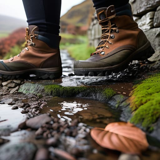
At the end of the day, checking for flood risk isn’t just about staring at a computer screen or squinting at those colourful government maps that don’t always tell the whole story. It is about getting your boots on the ground. You need to look at the drainage on the lane, check if the neighbours have installed heavy-duty sump pumps, and ask the person who has lived in the cottage since 1974 how the garden holds up after a proper storm. Don’t rely solely on a surveyor’s report if it feels thin; trust your own eyes and the local knowledge that isn’t written down in any official brochure. If the ground feels too spongy or the culvert looks blocked, take it seriously.
Buying a home is one of the biggest decisions you’ll ever make, and it should be about more than just the number of bedrooms or the age of the kitchen tiles. A house is meant to be your anchor, a place where you can settle in for the long haul without constantly worrying about the weather forecast. If you do the hard graft now—walking the boundaries and asking the right questions—you can move in with a bit of real peace of mind. After all, a home is only truly worth the investment if it stays dry and steady through the seasons.
Frequently Asked Questions
If the official maps say I'm in a safe zone, how do I know if the neighbor's new driveway or a blocked culvert down the lane might change that?
Maps are a fine starting point, but they don’t account for a neighbour paving over a perfectly good soakaway with non-porous concrete. I’ve seen it happen more times than I’d like. You need to walk the lane. Look for where the water naturally gathers and see if any new construction has redirected that flow toward your boundary. If a culvert looks choked with silt or debris, that’s a real risk no government map will catch.
When I'm out looking at a potential new house, what specific signs should I be looking for in the brickwork or the garden to see if water has been creeping in over the years?
When you’re standing in that garden, don’t just look at the grass; look at the soil. If it feels spongy or stays damp long after a dry spell, you’ve got a drainage issue. Check the base of the brickwork for efflorescence—that white, salty powder—or any hairline cracks that look like they’ve been widened by moisture. If the mortar looks crumbly or there’s a faint tide mark on the render, the water’s already been visiting.
Is it worth spending the money on a professional survey specifically for drainage, or is that something I can figure out myself by watching the weather?
Look, you can certainly spend a heavy afternoon standing in the garden after a downpour, but watching the sky isn’t a substitute for a professional eye. I’ve seen plenty of houses where the garden looks fine until you realise the soakaway is blocked or the pitch of the driveway is sending everything straight toward the foundations. If the property is near a stream or sitting in a hollow, pay for the specialist. It’s cheaper than a damp living room.